Best Water Ways:
Watershed literacy, stewardship, and restoration place-based learning initiative
- Full resolution files (best for print)
- Fillable PDF files (best for digital use)
We would love to hear from folks using these resources.
Please drop us a line at: info@cowichanlandtrust.ca
Scroll down to learn more
& access the sessions!
Best Water Ways ~ The Big Idea
Organizations like the Cowichan Community Land Trust have been involved with school and community learning for many years. For example, many local conservation groups organize Streamkeepers activities and provide resources for storm drain marking (think ‘yellow fish’ symbol). School groups often join in on planting or streamside clean-up days.
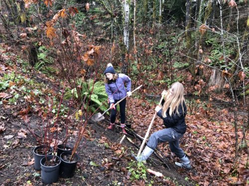
The Cowichan Community Land Trust was delivering a riparian restoration project recently that spontaneously involved a local grade nine group doing some planting. It was during this project that a beam of light came through the forest and illuminated the need for the Best Water Ways learning resources. Would it not be of great benefit to enrich these types of community stewardship and restoration activities with a deeper, place-based learning experience for students and educators? After-all, where and how our local waters flow is about as place-based as it gets.
It is also vitally important that youth learn about their local watersheds, and how to protect, steward, and restore them.
Indigenous Knowledge
The Best Water Ways learning suite was inspired, designed, and developed within the Unceded Traditional Territory of several Hul’qumi’num speaking communities that are part of the far-reaching Coast Salish Nation. ‘Huy tseep q’u Siem / Thank you all with deep respect’ to the local Indigenous Elders and Knowledge Keepers who have generously shared knowledge relating to the Quw’utsun land and People during the making of these resources.
The integration of local Indigenous Ecological and Cultural Knowledge in today’s classrooms is invaluable and supports a holistic learning experience for students. In the context of local ecological sustainability, we have a great deal to learn about how to coexist better within the Living Earth , a theme which is central to many Indigenous teachings.
For settlers in this place currently known as Canada, it’s important to acknowledge the impact, harm, and suffering that colonization has caused and continues to cause Indigenous People and the land they’ve inhabited for at least ten thousand years. It is with humbleness and deep appreciation that we invite Indigenous Elders and Knowledge Keepers to share their wisdom and help us on the path to better ways.
Our approach in Best Water Ways is that, through learner inquiry and actively connecting with Indigenous Ecological and Cultural Knowledge Keepers in their region, participants explore elements of local Indigenous Knowledge in their location throughout each session of the learning. Additional supports for this important aspect of the learning are located within the additional resources section below the session links.
The Best Water Ways Learning Suite
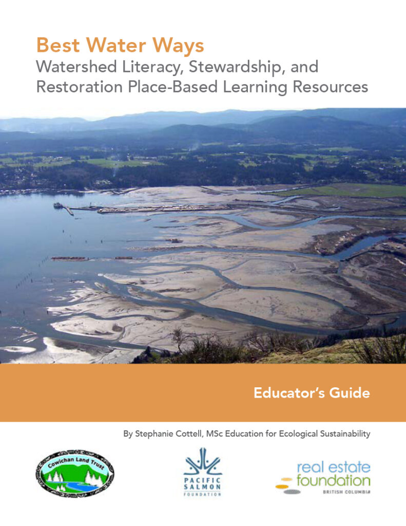
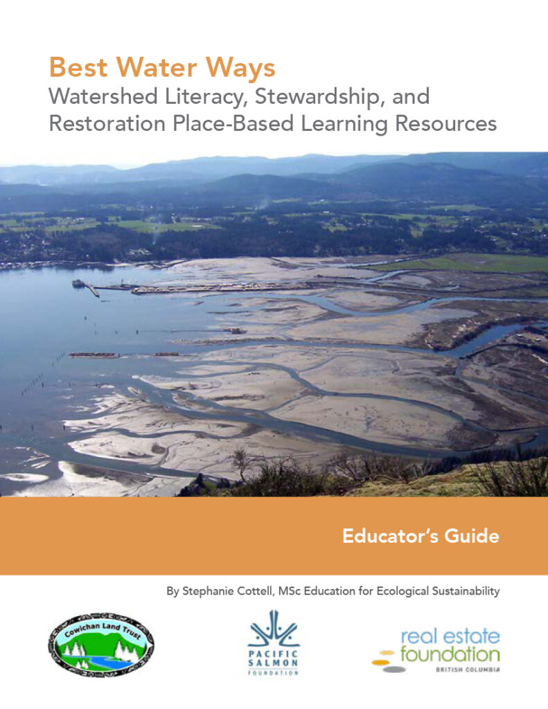
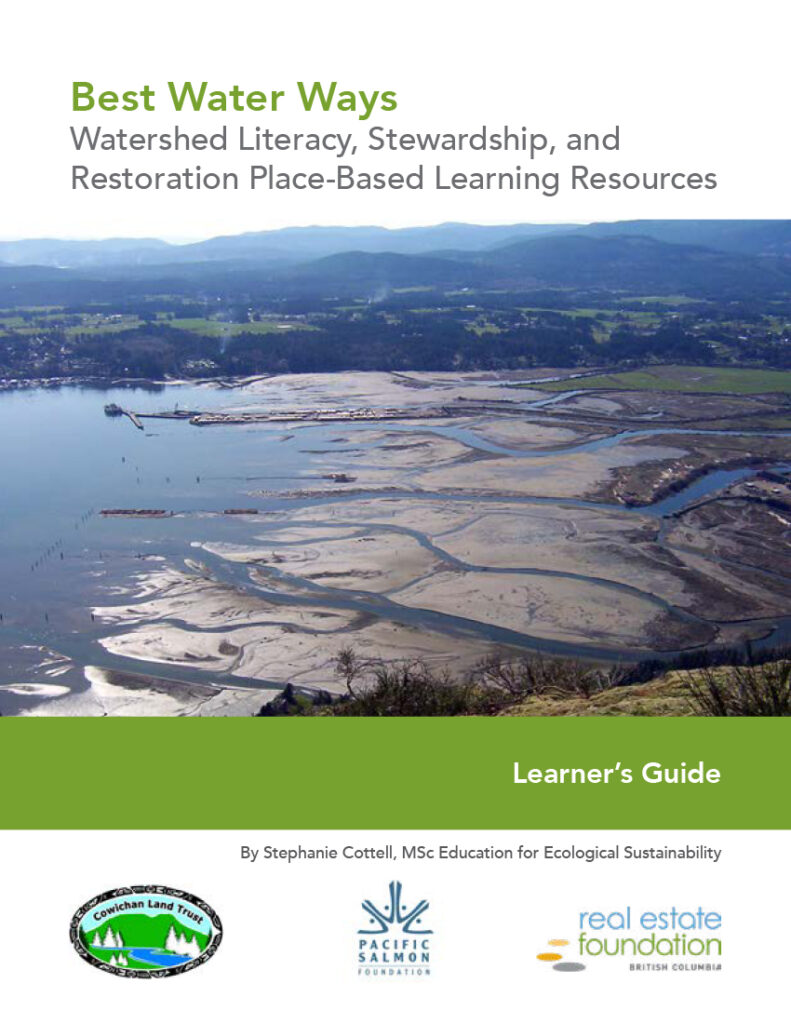
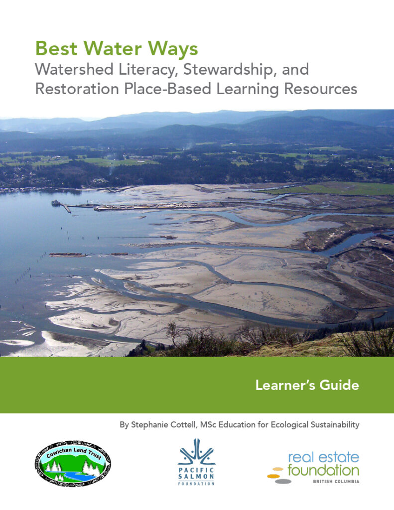
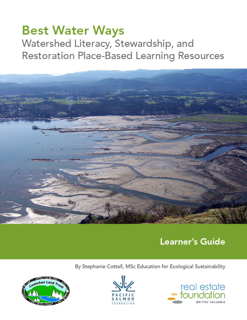
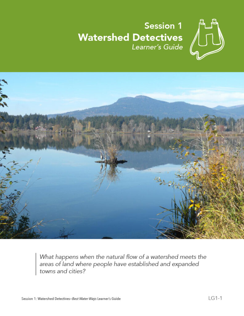
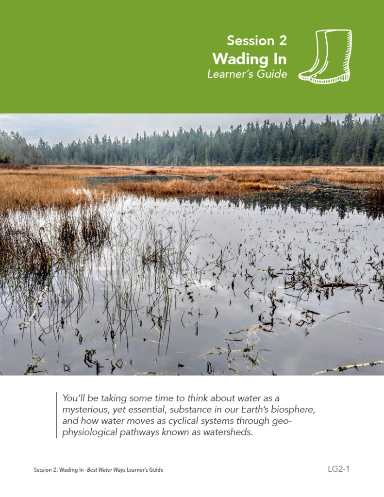
The Best Water Ways Watershed Literacy, Stewardship, and Restoration place-based learning resources are a suite of six Educator Guides with activity plans, and a Learner’s Guide for each session. These resources can be used in a multitude of ways to facilitate learning about your local watershed, and how it can be protected and restored.
They can but do not have to be used in a linear way, as they are designed to be adaptable to your needs and context.
‘Best Water Ways is an engaging and rich resource that deepens students’ understanding of their watershed by rooting their learning in place and examining topics from multiple perspectives. The opportunity to get into the field and do restoration work meant that students not only learned the ecological and socio-cultural impacts on the watershed, but also gave them a feeling of agency that they could be a part of the solution to challenges facing the watershed. They were inspired to learn more and provided an excellent jumping off point for students to complete their own investigations. The resource is also flexible and easily adaptable for use by different classes and ages.’
Nicole Lorusso
Math/Science/Technology Department Head and Teacher at Queen Margaret School in Duncan, BC
The Sessions
Full Resolution Educator’s Guides
(Include Session Activity Plans):
To download the full resolution print files, click the links above to open and ‘save as’ to your computer.
To download the interactive, fillable form files, click the thumbnails below.
Digitally Fillable Educator’s Guides (Include Session Activity Plans):
NOTE: Please click each image to open the PDF and 'save as' to your computer before filling in any form fields.
Full Resolution Learner's Guides:
To download the full resolution print files, click the links above to open and ‘save as’ to your computer.
To download the interactive, fillable form files, click the thumbnails below.
Digitially Fillable Learner’s Guides:
NOTE: Please click each image to open the PDF and 'save as' to your computer before filling in any form fields.
ADDITIONAL RESOURCES
General
First Nations Resources:
First Nations Resources: BC First Nations Knowledge Network: First Nations Languages:Government Sites:
Fisheries and Oceans Canada Stream to Sea Program:
Government of BC Environmental Protection and Sustainability
Maps/Navigation/Stewardship Resources:
Google Earth:
River App
Pacific Streamkeepers Federation
Regional Websites/maps:
REGIONAL RESOURCES
Please note that it’s impossible for us to include all the great resources out there! You will find lots of great resources by searching on Google and YouTube, especially Indigenous language and cultural videos for your specific area.
Vancouver Island
Victoria:
Not For Profit (NFP) Env. Orgs.: Maps: Local First Nations:Nanaimo/Parksville/Qualicum:
NFP Env. Orgs.: Maps: Local First Nations:Comox Valley:
NFP Env. Orgs.: Maps: Local First Nations:Gulf Islands:
NFP Env. Orgs.: Maps: Local First Nations:Lower Mainland
Delta/Surrey/Tswassen:
NFP Env. Orgs.: Maps: Local First Nations:Fraser Valley:
NFP Env. Orgs.:- https://rivershed.com
- https://www.fraserbasin.bc.ca
- https://fvwc.ca/
- https://www.summitearthworks.ca
Vancouver:
NFP Env. Orgs.: Maps: Local First Nations:Squamish/Lillooet/Powell River/Sunshine Coast:
NFP Env. Orgs.: Maps: Local First Nations:Southern Interior
Kelowna/Vernon:
NFP Env. Orgs.: Maps: Local First Nations:North Okanagan:
NFP Env. Orgs.: Maps: Local First Nations:South Okanagan:
NFP Env. Orgs.:
Maps:
- https://www.penticton.ca/our-community/about-us/maps-gis-open-data
- https://www.oliver.ca/map/
- https://www.osoyoos.ca/content/maps
Local First Nations:
Kamloops:
NFP Env. Orgs.:
Maps:
Local First Nations:
Kootenays
Central Kootenay:
NFP Env. Orgs.: Maps:Northern Interior
Williams Lake:
NFP Env. Orgs.:
Maps:
Local First Nations:
Nechako:
NFP Env. Orgs.: Maps: Local First Nations:North Coast
Bella Coola:
NFP Env. Orgs.: Maps: Local First Nations:Prince Rupert:
NFP Env. Orgs.: Maps: Local First Nations:Kitimat:
NFP Env. Orgs.: Maps: Local First Nations:Haida Gwaii:
NFP Env. Orgs.: Maps: Local First Nations:The Best Water Ways initiative would not have been possible without the support of our funders. We deeply express our thanks to:

